
The Challenge
SiteTrax.io was solving a physical operations problem, not a generic website-analytics problem. A growing intermodal and trucking operation needed a faster way to identify containers, chassis, trucks, and trailers across multiple yards, gates, and drop-off or pickup movements. Manual yard checks made it difficult to know where an asset was, what had moved, and which records needed to reach the customer’s Yard Management System. The public SiteTrax case study describes a 3PL facility in Chesapeake, Virginia, spread across four yards and almost 16 acres during the 2021 surge in container imports.
Our Solution
Sketric worked on the computer-vision layer behind SiteTrax.io: training and refining OCR and object-detection models for logistics assets, then connecting the captured asset identity and location data to the surrounding workflow. A camera or mobile device could capture an image or video of an intermodal asset; the vision pipeline identified the relevant asset and read its identifier; the resulting record could carry the image, asset ID, date, time, and geolocation into a Yard Management System or another API-capable system. The work was about turning difficult yard observations into operational data that a trucking or logistics team could use.
From Input to Outcome
Map the yard problem
Identify the asset types, capture locations, yard movements, and operational handoffs that make manual visibility expensive or unreliable.
Capture the asset
Use a phone, camera, or fixed virtual-gate setup to capture an image or video of the container, chassis, truck, trailer, or configured asset.
Detect the object
Apply the trained object-detection model to locate the relevant asset in a busy yard scene before attempting to read its identifier.
Read the identifier
Run OCR on the appropriate region and handle perspective, lighting, dirt, distance, and partial visibility in outdoor logistics imagery.
Attach operational context
Combine the recognized ID with the captured image, time, and geolocation so the record can answer where and when the asset was observed.
Push into the system of record
Send the asset record through an API-capable integration path into a Yard Management System, Terminal Operating System, ERP, TMS, or another operational ledger.
Measure the yard workflow
Compare the new workflow with the customer’s baseline for turn-times, yard checks, administrative effort, and data completeness before generalizing the result.
How It Works
The workflow starts with a camera, phone, or fixed capture point in the yard. Images or video are processed through object detection and OCR to identify the asset and read its visible identifier. The record is paired with capture time and geolocation, then sent through an API or integration path to a Yard Management System, Terminal Operating System, ERP, TMS, or other operational ledger for review and use.
Key Features & Capabilities
Asset detection: Finds the relevant container, chassis, truck, trailer, or other configured logistics asset in captured imagery.
OCR model training: Reads visible asset identifiers from real-world yard imagery rather than relying on a clean document scan.
Mobile and fixed capture: Supports the product’s camera, mobile, and virtual-gate operating patterns.
Location-aware records: Associates the recognized asset with capture time and geolocation for yard visibility.
Operational integration: Pushes asset records toward a YMS, TOS, ERP, TMS, spreadsheet, or other API-capable destination.
Proof of movement: Keeps the captured image and identifying record together for pickup, drop-off, gate, and yard-check workflows.
Cross-border supply-chain context: Makes asset identity more useful across handoffs where containers and chassis move between operators and facilities.
A trucking and intermodal operation outgrowing manual visibility
The public customer story describes a 3PL serving ports on the U.S. East Coast. As container imports grew, four separate yards and almost 16 acres became difficult to keep current through manual observation alone. The problem was operational visibility across a physical environment, not a lack of another dashboard.
Yard imagery is not a clean OCR document
Asset identifiers appear in outdoor scenes with distance, glare, dirt, perspective, occlusion, and competing objects. The solution therefore needed object detection to locate the asset and OCR to read the identifier, with model training shaped around the images the yard actually produced.
A model result becomes useful when it enters the operating system
The product story connects image, ID, date, time, and geolocation to a Yard Management System and other operational ledgers. That handoff turns a computer-vision event into a record that supports yard checks, gate workflows, proof of movement, and asset-location decisions.
Operational results were measured in movement and administrative effort
SiteTrax’s public case study reports up to six-times-faster truck turn-times, one-third fewer yard checks, and about three hours saved per day for back-office staff. The outcomes are preserved with their customer-specific scope rather than presented as universal model performance.
The next proof is a model and deployment benchmark
A stronger technical release would add evaluation sets by asset type, OCR error categories, detection recall, capture-condition breakdowns, latency, integration completeness, and monitoring. The operational story is strong; universal accuracy and current scale still require direct evidence.
Tech Stack
Optical Character Recognition
Object detection
Computer vision model training
Image and video capture
Geolocation metadata
API and logistics-system integration
Real-World Impact
SiteTrax’s published intermodal case study reports the operational change in terms that matter to a yard team: truck turn-times became up to six times faster, yard checks decreased by one third, and back-office staff saved an average of three hours per day. Those are SiteTrax-reported case-study outcomes for the described customer context, not a universal performance guarantee for every site, camera, asset type, or deployment.
Project FAQs
What does SiteTrax.io do?
SiteTrax.io captures intermodal asset imagery and uses OCR and computer vision to identify assets such as containers and chassis, attach time and geolocation, and push the resulting records into logistics systems.
What was Sketric’s role in the SiteTrax engagement?
Sketric’s role focused on training and refining OCR and object-detection models, shaping the computer-vision workflow, and supporting the path from captured asset imagery to an operational record.
Why did SiteTrax need object detection before OCR?
A yard image may contain multiple assets, background equipment, and partial views. Object detection helps locate the relevant asset and identifier region so OCR can process the right visual evidence.
Which information can be attached to an asset observation?
The public SiteTrax workflow describes an image, asset ID, date, time, and geolocation being pushed into an operational destination such as a Yard Management System or Transportation Management System.
What outcomes were reported for the customer case study?
SiteTrax reports up to six-times-faster truck turn-times, yard checks reduced by one third, and an average of three hours saved per day for back-office staff in the described intermodal operation.
Are those results guaranteed for every logistics operation?
No. They are customer-specific outcomes from the published intermodal case study. Results depend on asset types, capture conditions, yard layout, integration quality, workflow adoption, and the customer’s baseline.
Which systems can receive SiteTrax data?
The public product description says the data can be pushed to API-capable destinations including Yard Management Systems, Terminal Operating Systems, ERP, TMS, Container Management Systems, and spreadsheets.
Does this case study claim a universal OCR accuracy rate?
No. The archived record describes model training and the customer-specific operational results, but it does not claim a universal OCR or object-detection accuracy benchmark.
Explore the services behind this work
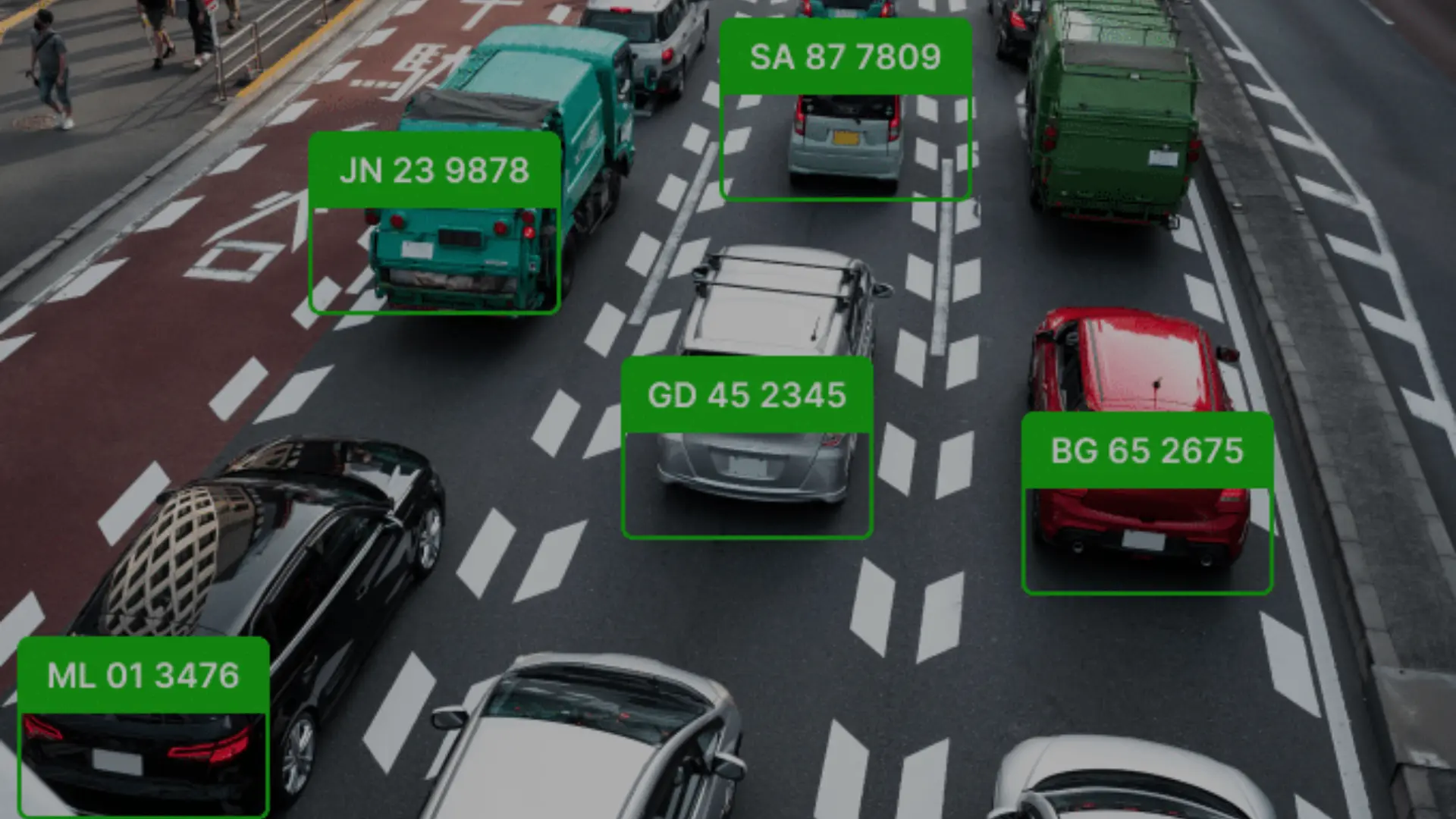
PlateSniper: AI-Powered License Plate Recognition
AI-powered license plate recognition system that automates parking violation detection across the City of Ontario with 95%+ accuracy.
Read case study →
Automated AR with OpenCV
Advanced augmented reality pipeline enabling seamless integration of virtual objects into real-world environments using computer vision.
Read case study →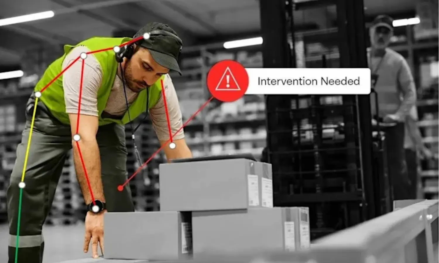
Vergo AI Assistant
Vergo AI Assistant turns work video into pose landmarks, time-coded REBA signals, and a human review path for ergonomic screening without claiming medical diagnosis or validated accuracy.
Read case study →Have a project with similar engineering constraints?
Tell us what must be built, measured, integrated, and released. We’ll help define the technical path and the evidence needed to support production claims.